$20M Safety Plan Proposed For Malibu's PCH After String Of Traffic Fatalities
MALIBU (CBSLA.com) — The city of Malibu is considering a $20 million plan to make a curvy stretch of Pacific Coast Highway safer.
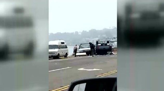
It's an area where dozens of people crash, causing closures and traffic delays, every month. Four people have died in those collisions over the past five months.
The proposed plan is three years in the making and recommends more than 150 road improvements, including a new bridge at Zuma Creek.
"I think it's a good idea," Malibu resident Bill Swartout said. "PCH is an old highway, it's been here a long time, and it definitely needs more upgrades."
The plan also advises extending an existing Zuma Beach bike lane across the city. Bike lanes have been opposed by many residents in eastern Malibu, who have campaigned against them as a threat to on-street parking. Many residents say there is no alternative parking place within miles of their homes.
The consultants also propose widening PCH at the city's most hazardous area at Las Flores Canyon Road. It was also suggested that the signal be removed at Rambla Pacifico, and to instead connect that street to Las Flores Canyon Road north of PCH, thus removing one of the two intersections at the curve.

The study also recommends traffic circles on PCH west of Trancas and at Webb Way at the Civic Center.
And, it calls for off-street parking lots all through Malibu to relocate vehicles that are parked by beach-goers on the shoulder, which is heavily used by bicyclists.
One of those parking lots would be built at Corral Canyon Road. That intersection is where a man in a parked car was killed in a collision earlier this month and is where Caitlyn Jenner, formerly known as Bruce Jenner, was involved in a February crash that claimed a woman's life.
The project would be funded by the countywide Measure R sales tax, or federal or state grants.
Residents have been calling on officials to do something about the highway, including actor Rob Lowe who reacted to a recent trash on Twitter.
Other residents who spoke with CBS2/KCAL9 say it's not the road that's causing these collisions and insist reckless driving is to blame.
The current layout of PCH dates back to 1947, where records indicate it was used as a rural intercity highway with a speed of up to 65 mph in western Malibu and 55 mph in the eastern part of the city. The study points out that speeding is a major factor in crashes on PCH, and that the current road design may be prompting drivers to reach those speeds.
(©2015 CBS Local Media, a division of CBS Radio Inc. All Rights Reserved. This material may not be published, broadcast, rewritten, or redistributed. Wire services contributed to this report.)