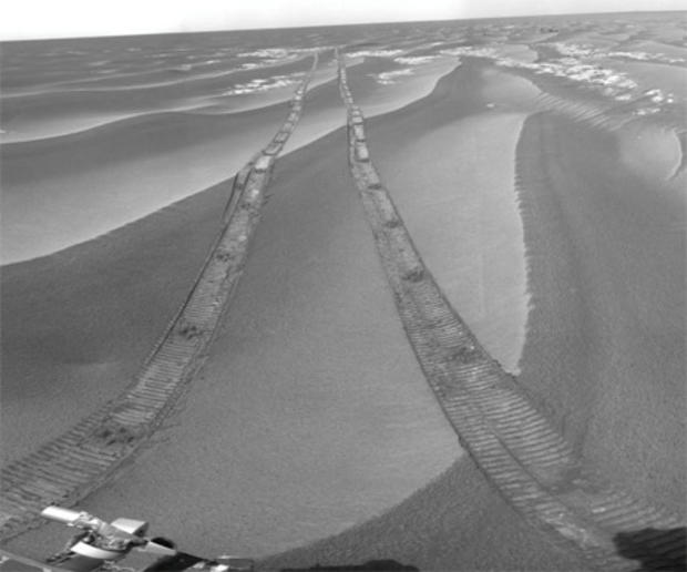
Mars Rover Passes 20-Km. Marker
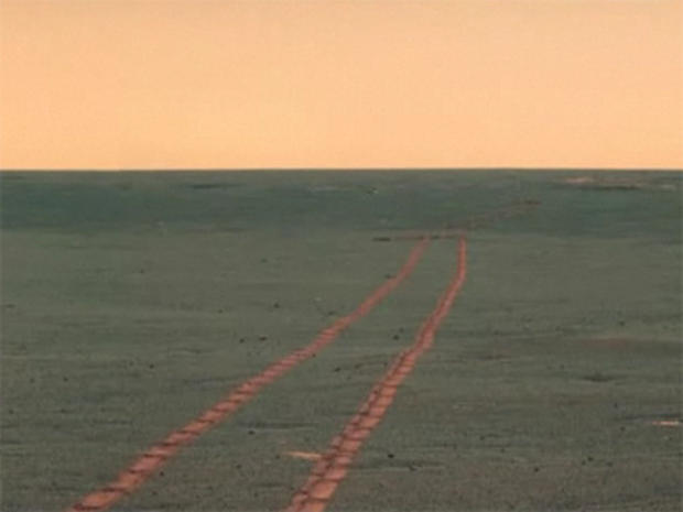
On the Move
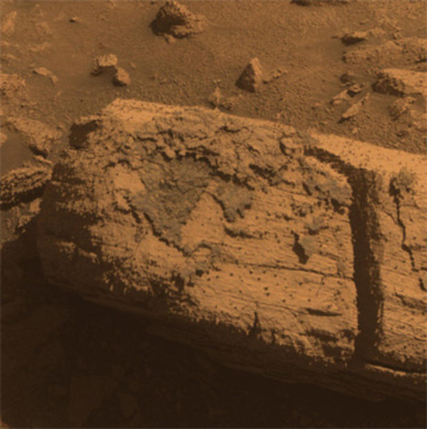
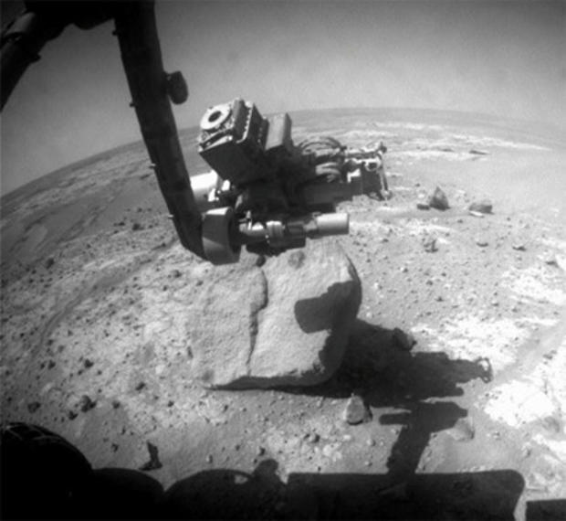
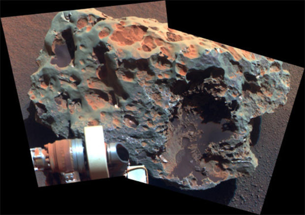
The rover used the tools on its robotic arm to examine the texture and composition of target areas on the rock with and without the dark coating. The rock is about the size of a loaf of bread. Initial analysis was inconclusive about whether the coating on the rock is material that melted during the impact event that dug the crater.
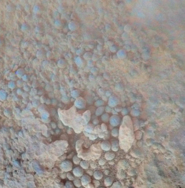
The coating includes a layer in which peppercorn-size spheres nicknamed "blueberries" are densely packed.
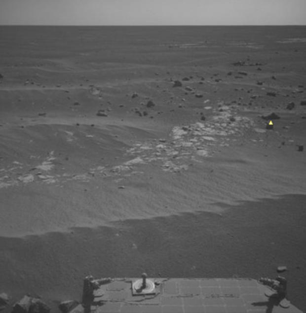
Opportunity took this image in preparation for the first autonomous selection of an observation target by a spacecraft on Mars. The top target that Opportunity selected with AEGIS (from the more than 50 rocks in this image) is shown by the yellow marker.

Chocolate Hills
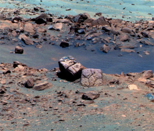
The false-color enhancement increases the contrast between different rock and soil types on the Martian surface.
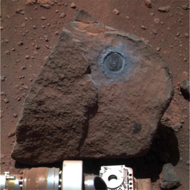
Block Island
Analysis of Block Island's composition using Opportunity's alpha particle X-ray spectrometer, confirmed that it is rich in iron and nickel.
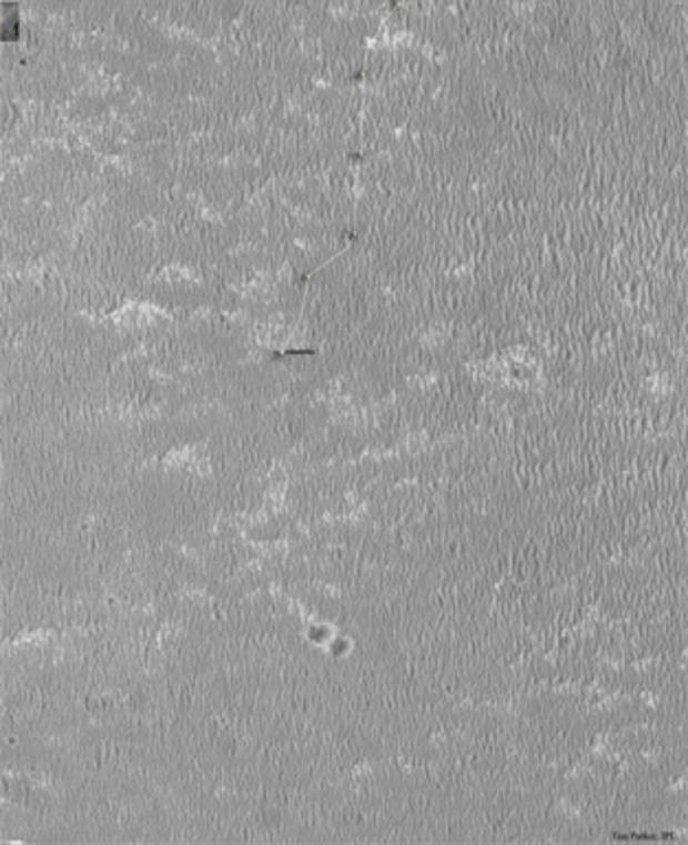
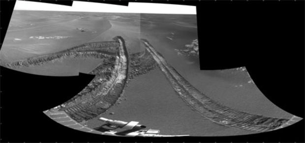
Backtracking
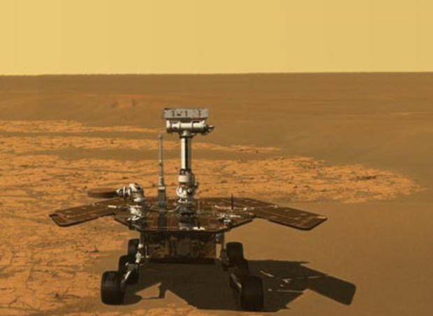
Spirit
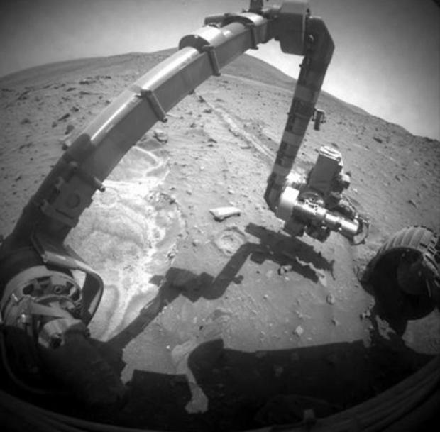
One such experiment is studying tiny variations in the rotation of Mars to gain insight about the planet's core. Tools on Spirit's robotic arm can also study variations in the composition of nearby soil, which has been affected by water. Stationary science also includes watching how wind moves soil particles and monitoring the Martian atmosphere.
Inside Endurance