Almanac: The 49th Parallel
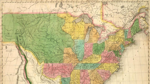
(CBS News) And now a page from our "Sunday Morning" Almanac: October 20th, 1818, 195 years ago today . . . the day the United States and Britain signed a treaty establishing the 49th Parallel as the border between Canada and the western U.S., from northern Minnesota to the base of the "Stony" Mountains (as they were then called).
Later agreements extended the 49-degree line west to the Pacific.
But maintaining those 49 degrees of separation hasn't been entirely straightforward.
For one thing, early surveyors, working without the benefit of GPS, mistakenly marked out a boundary that zigs and zags as much as 575 feet north and 784 feet south of where it's supposed to be.
Also, because of a misunderstanding, an isolated patch of land along the Lake of the Woods, called the Northwest Angle, wound up in the U.S. despite being north of the 49th Parallel.
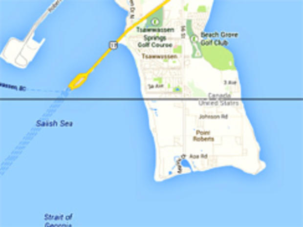
And though the two countries adjusted the border so that all of Vancouver Island was in Canada, they overlooked nearby Point Roberts, which sticks slightly south of the 49-degree line.
As a result, Point Roberts is an American outpost cut off from the rest of the U.S.A. Its roughly 1,000 residents have to cross the border every time they go in and out of their own hometown.
At just under 4,000 miles from Maine to Washington, and another 1,500 miles to include Alaska, the U.S.-Canadian boundary is often celebrated as the world's longest undefended border between two nations . . . though there have been changes in the post 9/11 world.
You now need either a passport, a passport card, or a so-called Enhanced Driver's license or ID card to cross, causing delays and aggravation for some.
And even seemingly deserted woods and fields are now monitored by infrared cameras and motion detectors.
Even so, it's still one of the least intimidating borders in the whole world.

