
Roller-coaster temperatures this week in Twin Cities
The Twin Cities metro is in for some late-winter temperature whiplash this week.
Watch CBS News

The Twin Cities metro is in for some late-winter temperature whiplash this week.

Saturday and Sunday will be cold across Minnesota, but temperatures will rebound next week.
Wednesday's storm in Minnesota continues to exit to the north Thursday, taking the snow with it.

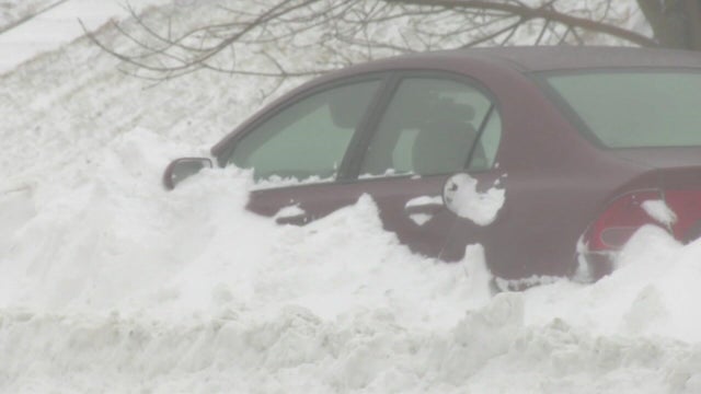
The National Weather Service has issued winter alerts across Minnesota on Wednesday due to a snowstorm set to blanket the state, with officials announcing a no-travel advisory in some regions.
Tuesday will still feel springlike in the Twin Cities, with mild temperatures and rain rolling in by evening.

The Twin Cities will have another springlike day on Tuesday, but temperatures — and precipitation — are set to fall later in the week.

Valentine's weekend will be lovely and springlike in the Twin Cities, but trust us — winter is not over.
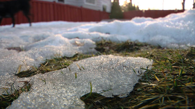
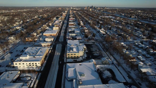
The thaw accelerates Thursday in the Twin Cities, with record warmth in sight this weekend.

Our unseasonable pattern continues on Wednesday, and record warmth is possible in the coming days.

After morning clouds clear, Tuesday will be a breezy, cooler day in the Twin Cities.
The Twin Cities will be very above average all week, with highs generally in the 40s — 30s on Tuesday and Wednesday — and lows in the 20s.

Temperatures are falling Friday in the Twin Cities, with increasing northwest winds making it feel colder through the day.

Above-average temperatures continue Thursday in the Twin Cities, with the several days above freezing.
Tuesday will stay cold and dry for most parts of Minnesota.

Cooler air returns Monday in the Twin Cities, with highs in the teens and dry, calm weather.